top of page


Photo:
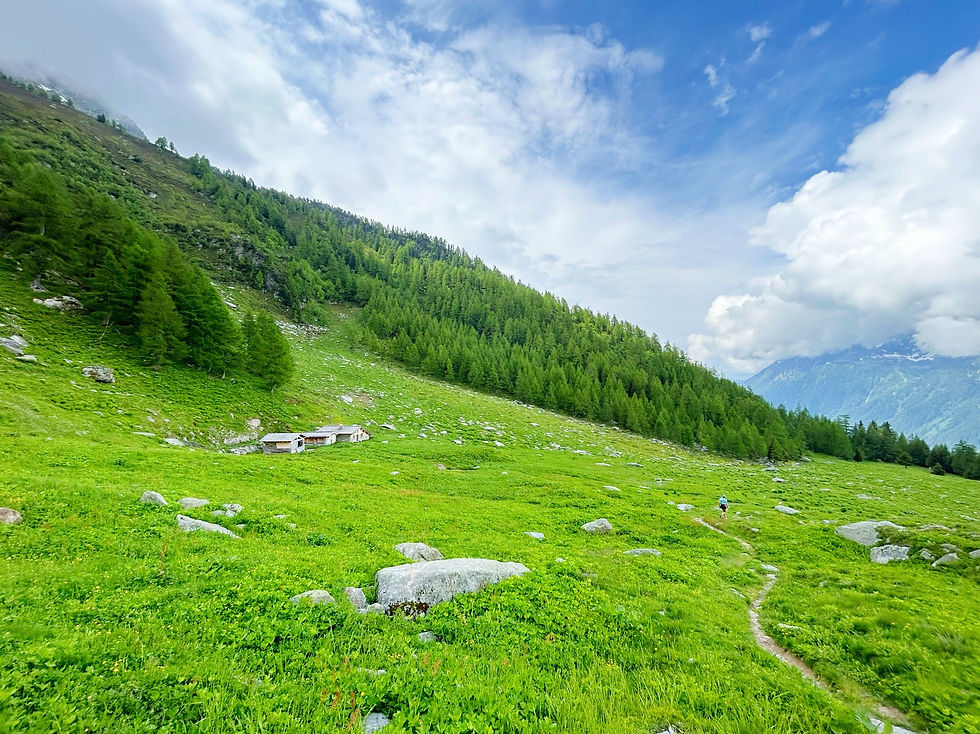
Chalets de la Pendant
Trails & Points of Interest featured in this Photo
These are the trails and points of interest on our website that feature the location where this picture was taken:

6
Our Rating
Above Average
Loop Trail:
A nice loop starting at Lavancher, climbing up to the Chalets de la Pendant and back via de Tete des Prapators and the Buvette du Chapeau
Length
10.09km
When to Go
Start Jun - Mid Oct
Hiking Time
3.0 - 5.0 Hours
Elevation +
+806m / -806m
Kids
12+ Years old
Running Time
1.5 - 2.0 Hours
Technical Difficulty
Difficult (4/5)
Dogs
Dogs Allowed
Nearest Town
Chamonix
Photo Location
Longitude:
6.92461389
Latitude:
45.95779167
bottom of page