top of page


Photo:
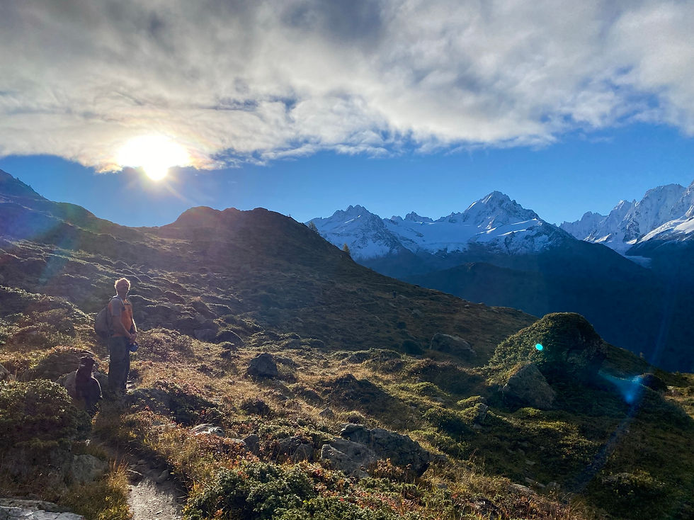
On the way to Col de la Terrasse
Trails & Points of Interest featured in this Photo
These are the trails and points of interest on our website that feature the location where this picture was taken:

10
Our Rating
The Best
Loop Trail:
A challenging route that takes you to the summit of Mont Buet at 3096m passing by the Refuge de Loriaz, the Col de la Terrasse and the Cheval Blanc
Length
23.31km
When to Go
Mid Jul - End Sep
Hiking Time
8.0 - 13.7 Hours
Elevation +
+2048m / -2048m
Kids
15+ Years old
Running Time
5.0 - 8.0 Hours
Technical Difficulty
Very Difficult (5/5)
Dogs
No Dogs
Nearest Town
Vallorcine
Photo Location
Longitude:
6.90731667
Latitude:
46.04175833
bottom of page