top of page


Photo:
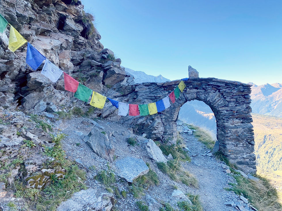
Stone Arch at the "Sentier des Contrebandiers"
Trails & Points of Interest featured in this Photo
These are the trails and points of interest on our website that feature the location where this picture was taken:

6
Our Rating
Above Average
Loop Trail:
A beautiful but pretty tough loop trail taking you from Refuge de Miage up to the Col the Tricot and then to the Refuge de Plan de Glacier via the "Smugglers Path"
Length
10.17km
When to Go
Mid Jun - End Sep
Hiking Time
4.0 - 6.0 Hours
Elevation +
+1181m / -1181m
Kids
15+ Years old
Running Time
2.5 - 3.5 Hours
Technical Difficulty
Very Difficult (5/5)
Dogs
No Dogs
Nearest Town
Les Contamines
Photo Location
Longitude:
6.77059167
Latitude:
45.84973056
bottom of page