top of page


Photo:
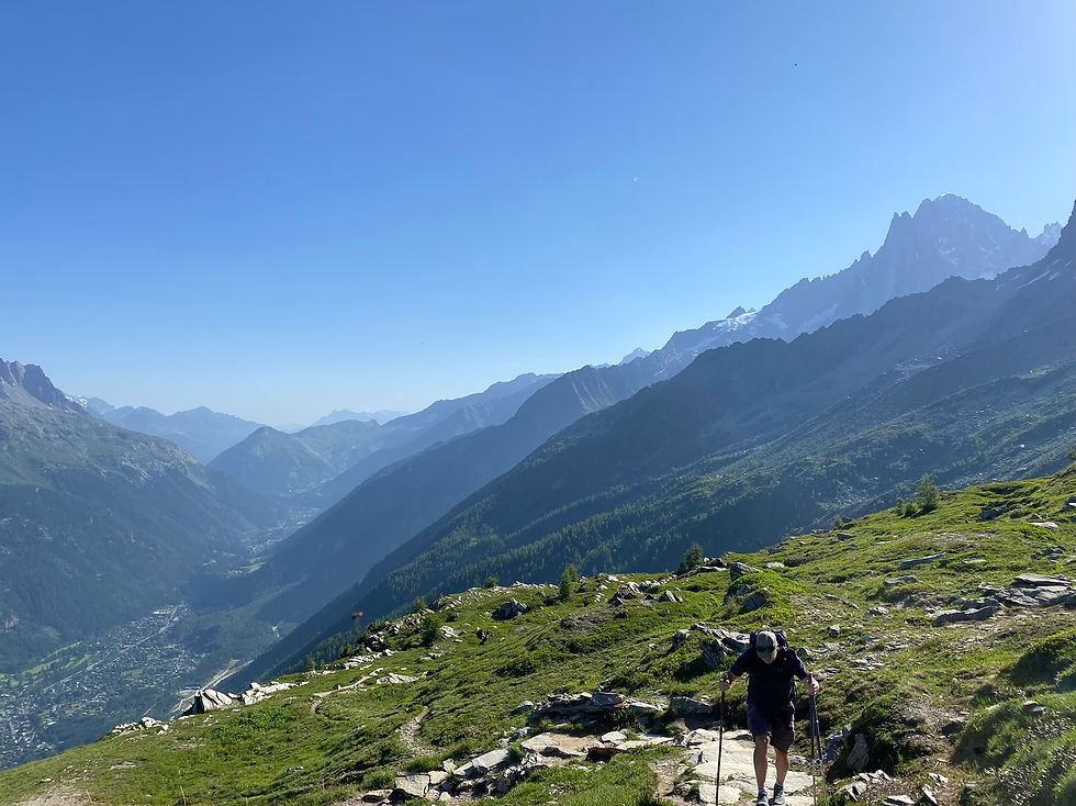
Trail toward the Refuge de Plan de l'Aiguille
Trails & Points of Interest featured in this Photo
These are the trails and points of interest on our website that feature the location where this picture was taken:

9
Our Rating
Exceptional
Trail:
Perhaps the most popular route in the Chamonix Valley taking you from the Montenvers station and the Mer de Glace over the Balcon Nord past the Lac Bleu to the Plan l'Aiguille lift station.
Length
8.17km
When to Go
Mid Jun - End Sep
Hiking Time
2.0 - 4.0 Hours
Elevation +
+614m / -231m
Kids
7+ Years old
Running Time
1.0 - 1.5 Hours
Technical Difficulty
Easy (2/5)
Dogs
No Dogs
Nearest Town
Chamonix
Photo Location
Longitude:
6.88320278
Latitude:
45.90541111
bottom of page